Glocknerrunde
 Difficulty:
★★★☆☆ Beauty:
★★★★☆ My experience:
★★★☆☆
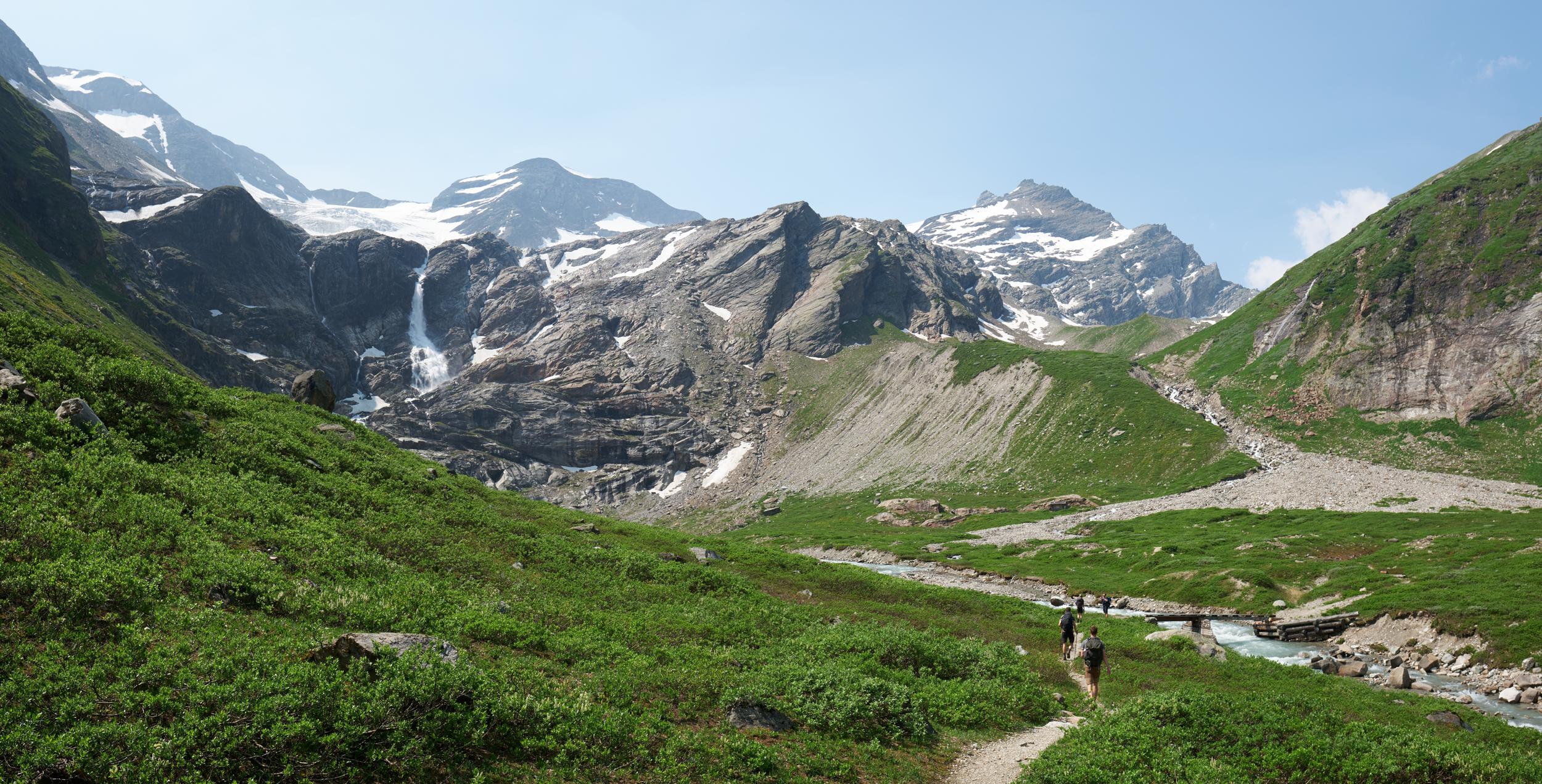
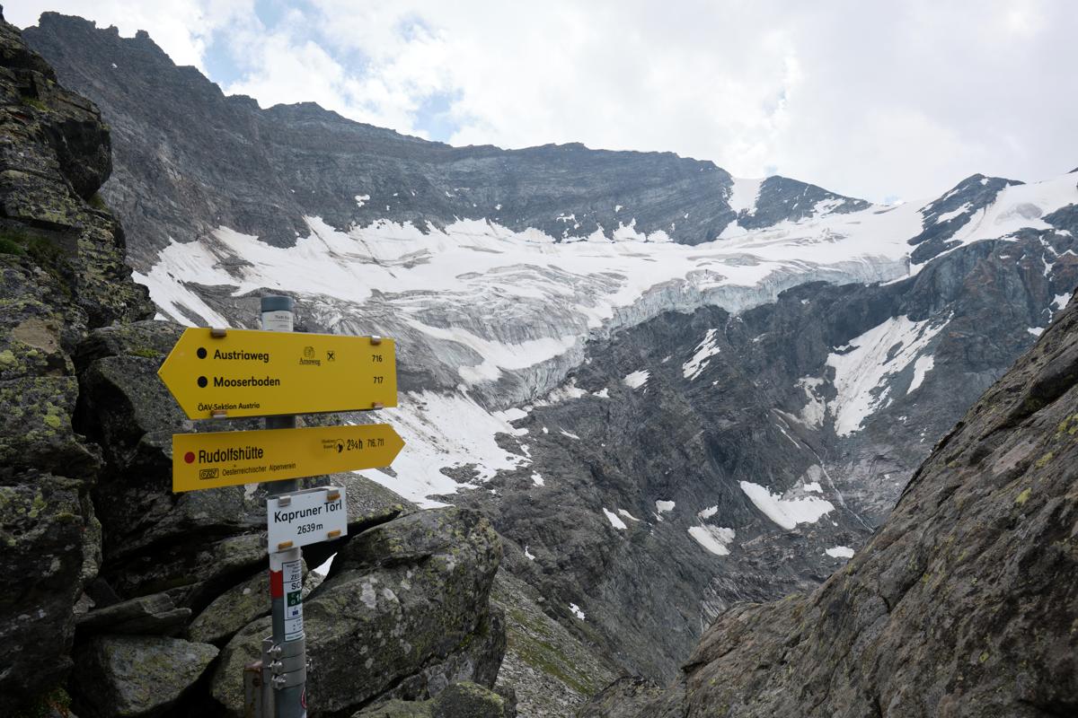
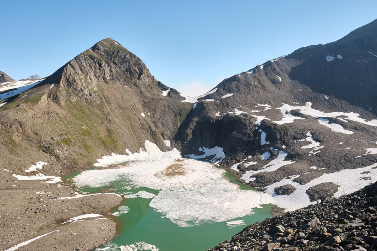
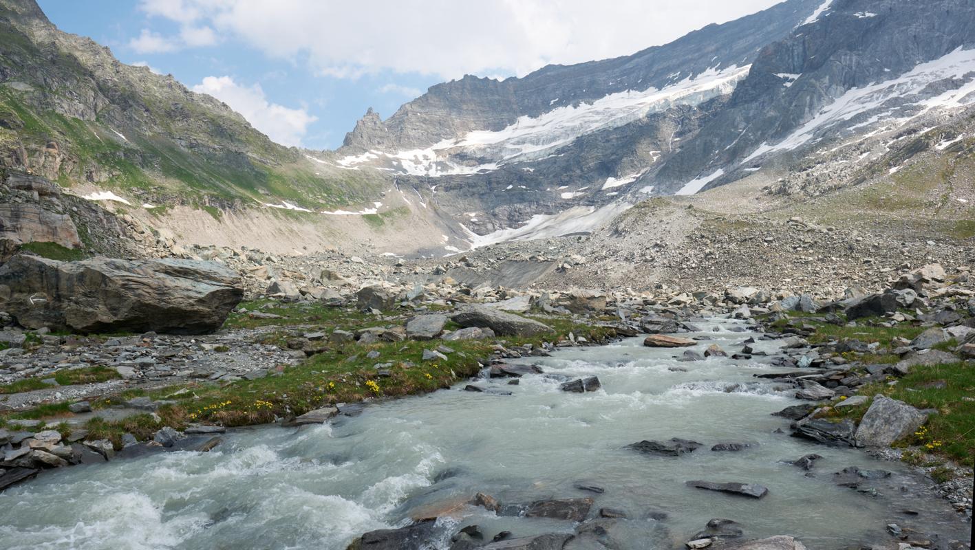
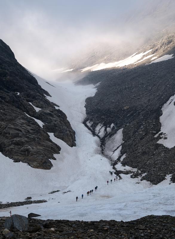
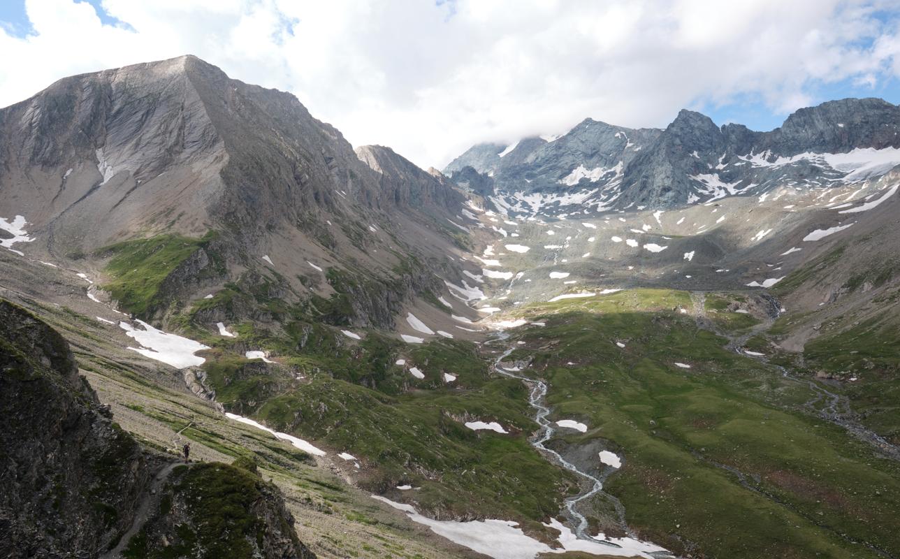
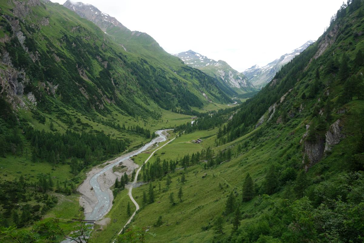
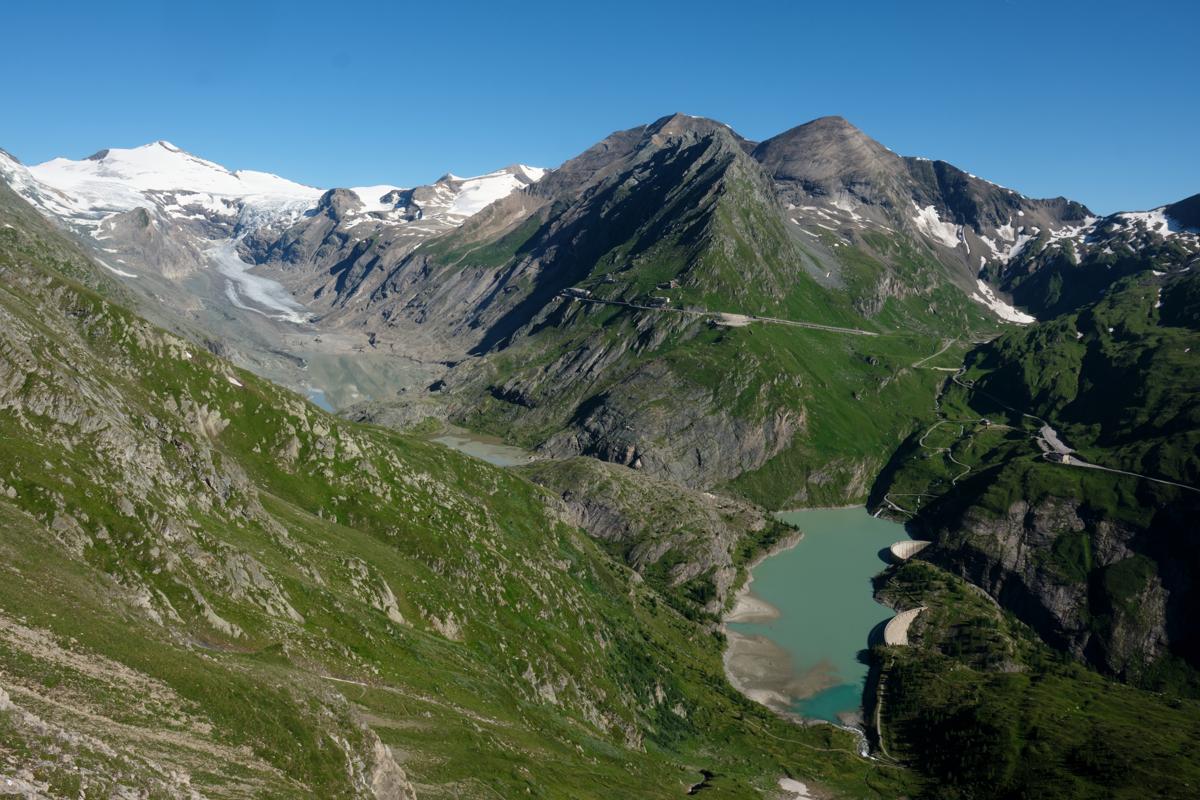
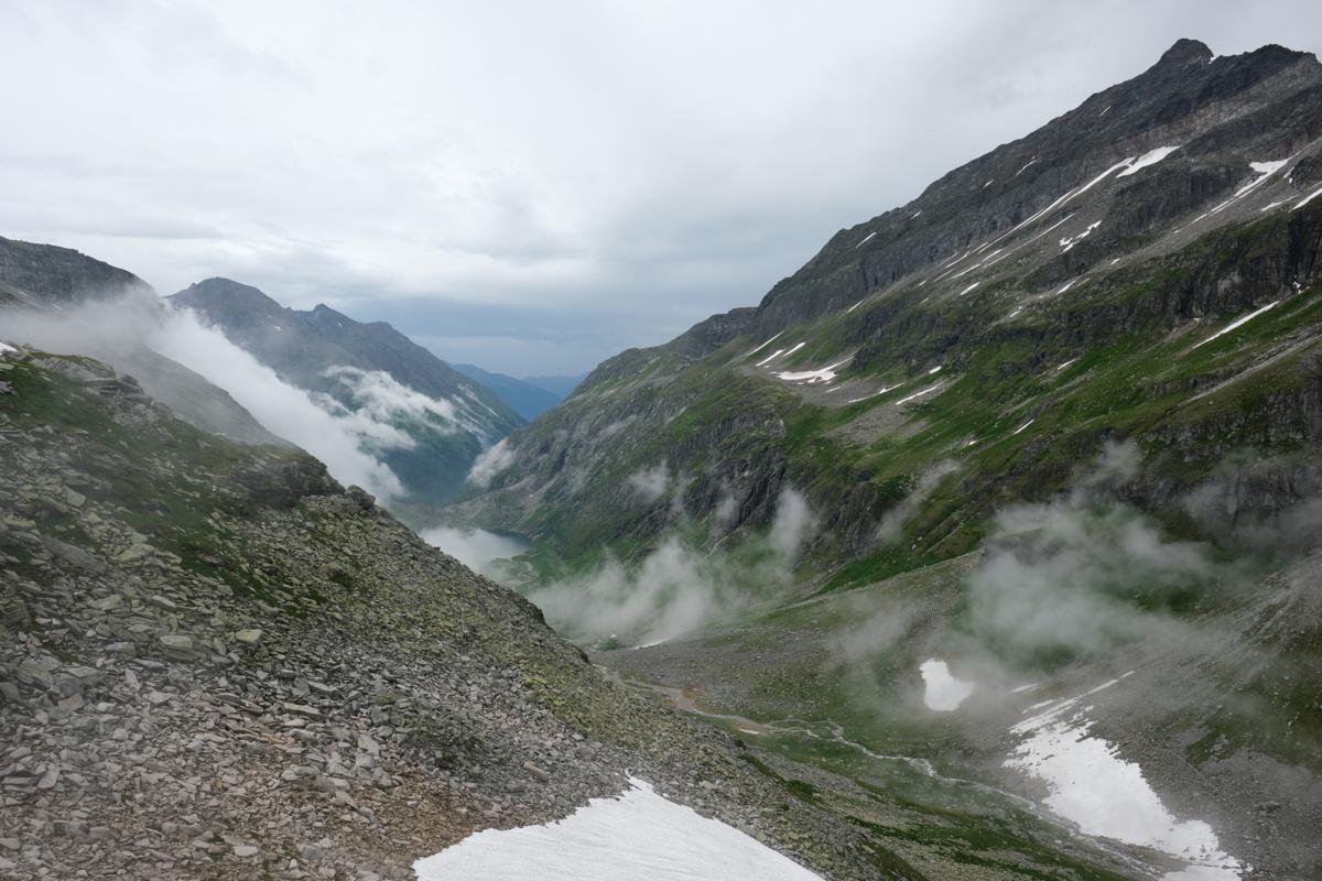
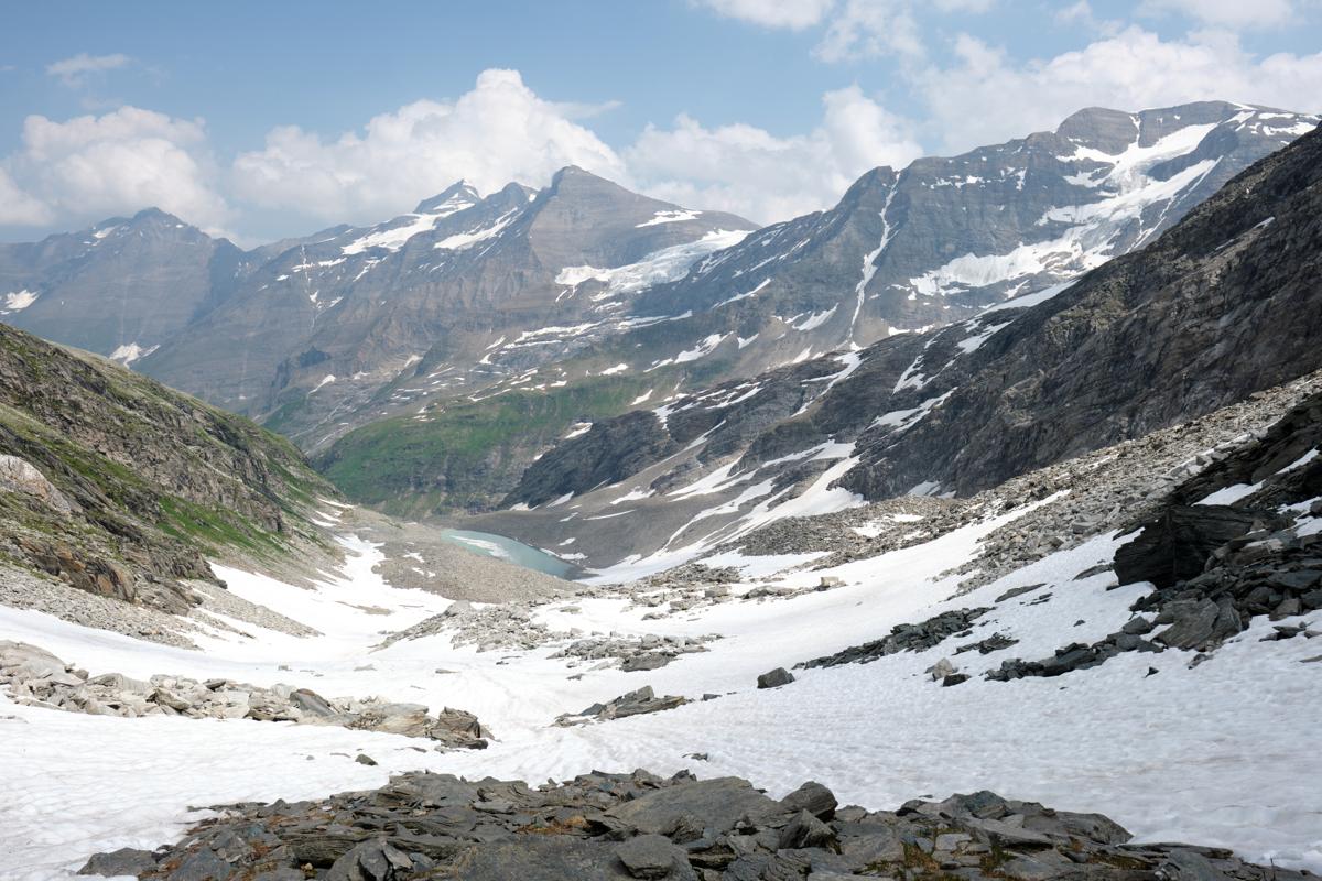
The Glocknerrunde is a spectacular multi-day trek that loops around the Grossglockner, Austria's highest mountain at 3,798 meters. Set in the heart of the Hohe Tauern mountain range, hikers are treated to classic alpine scenery: vast glacial valleys, high mountain passes, thundering waterfalls, and remote alpine pastures dotted with grazing cattle and rustic huts. The trail is well-marked and supported by a series of mountain refuges, making it accessible without the need to carry camping gear, though high elevations and steep ascents make it a demanding route best suited for experienced hikers. Much of the trail stays above 2,000 meters, with snow persisting on some passes into early summer; late July through early September is the most reliable window. Did you know? The Glocknerrunde follows parts of ancient trading and herding routes used for centuries by local mountain communities, long before tourism brought hikers to the region.
I found the Glockerrunde a very rewarding hike, with stunning views and lovely places to stay. The weather varied a lot, with the highest passes inaccessible for us due to high rainfall forecasts, many passes covered in snow, but also lots of sunshine. The snow especially made the hike more technical, but also more beautiful. Tourism is very present in the area, with very big mountain huts, sometimes accessible via lifts. All in all, an ideal trek for people who want a challenging hike on high altitude, but who also want to keep a certain level of comfort.
Some of my photos
Kaprun
Weather data at 783m
Historical data 1970-2000 from WorldClim2 (worldclim.org)
Access
Overnight
route my
route