Kungsleden
 Difficulty:
★★★★☆ Beauty:
★★★★☆ My experience:
★★★★★
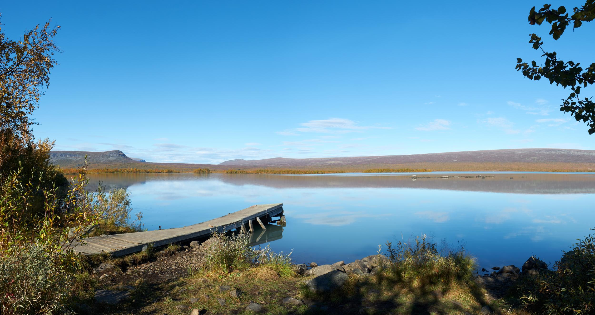
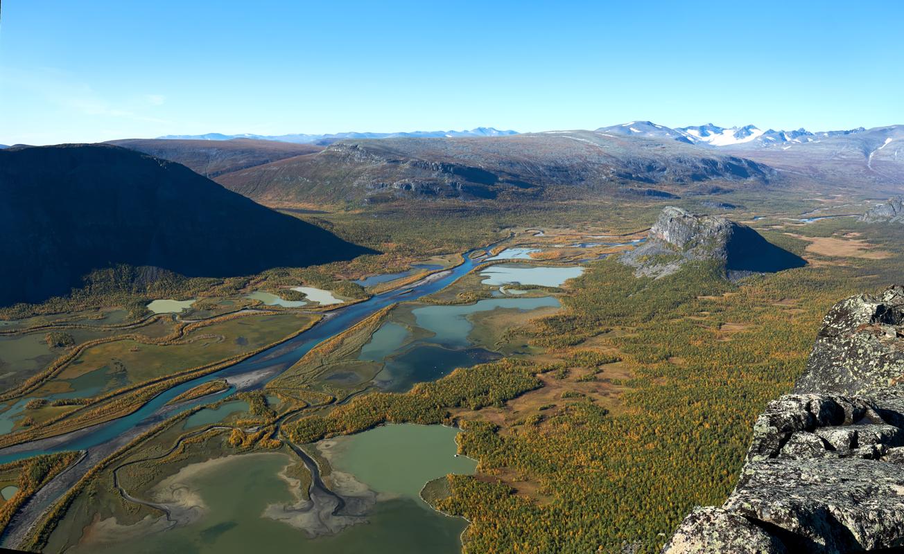
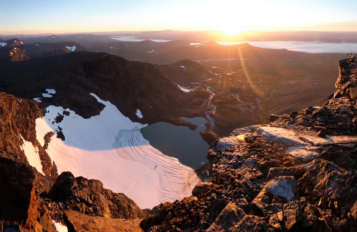
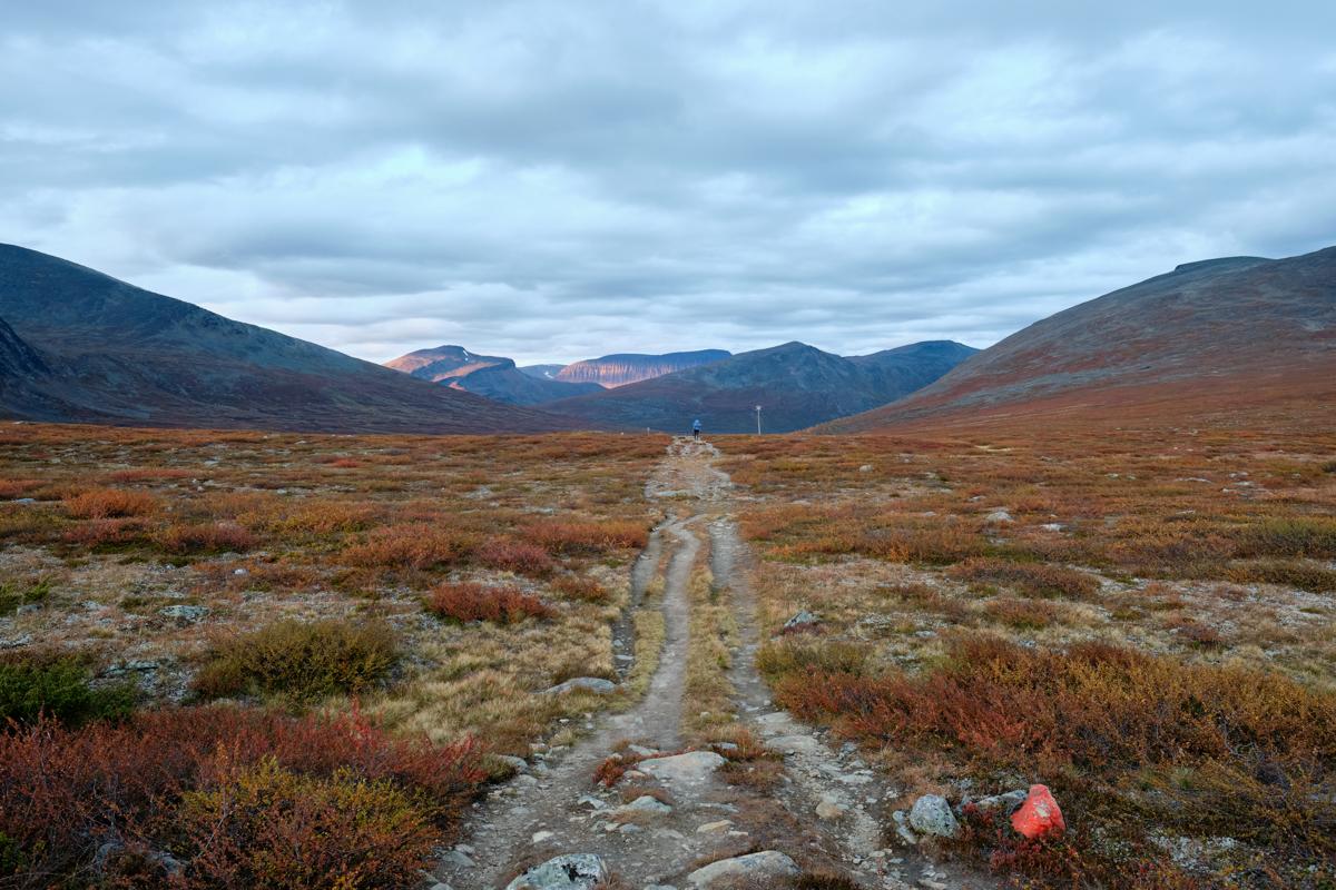
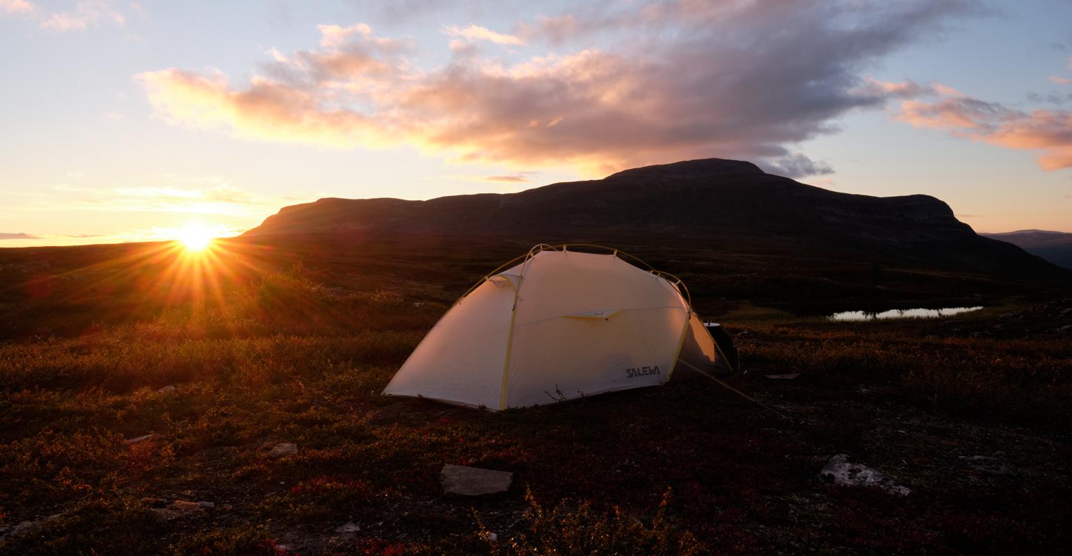
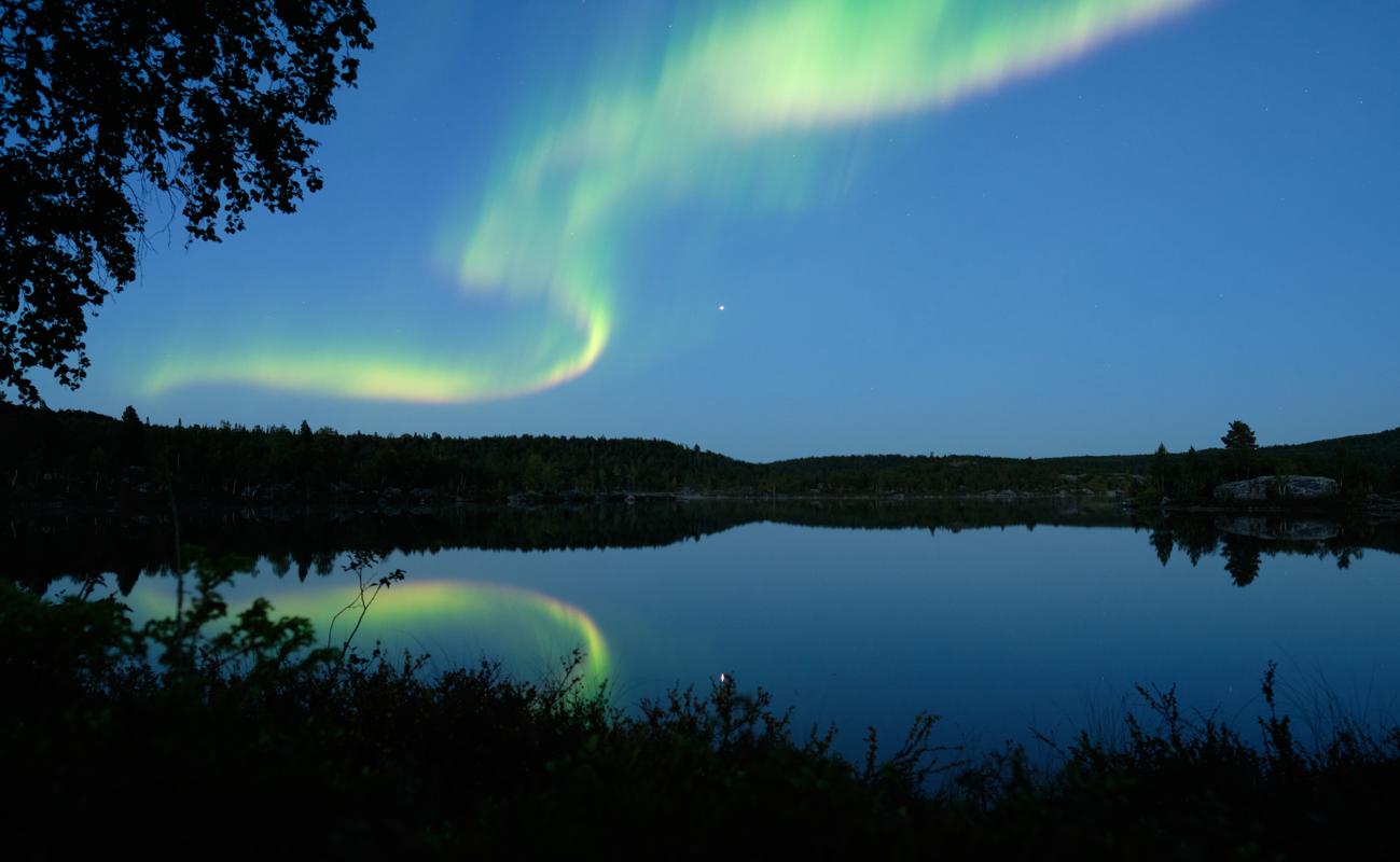
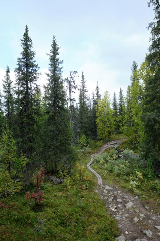
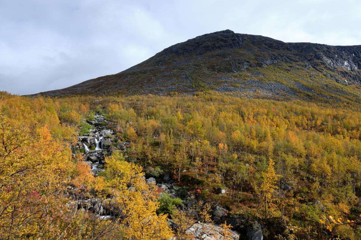
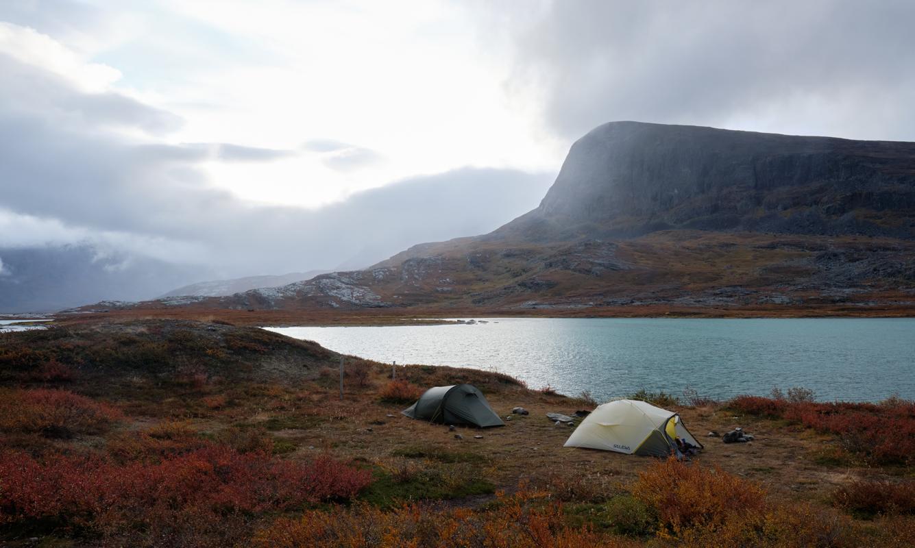
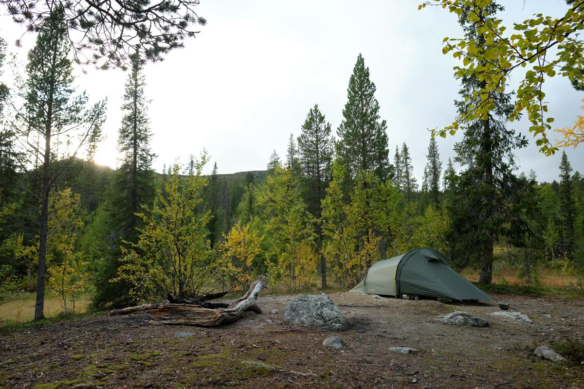
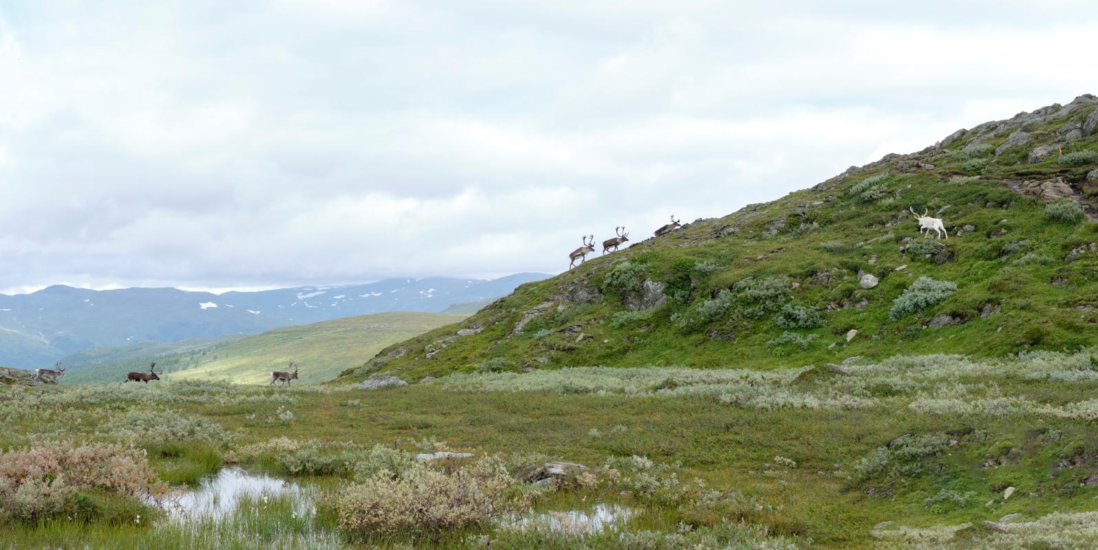
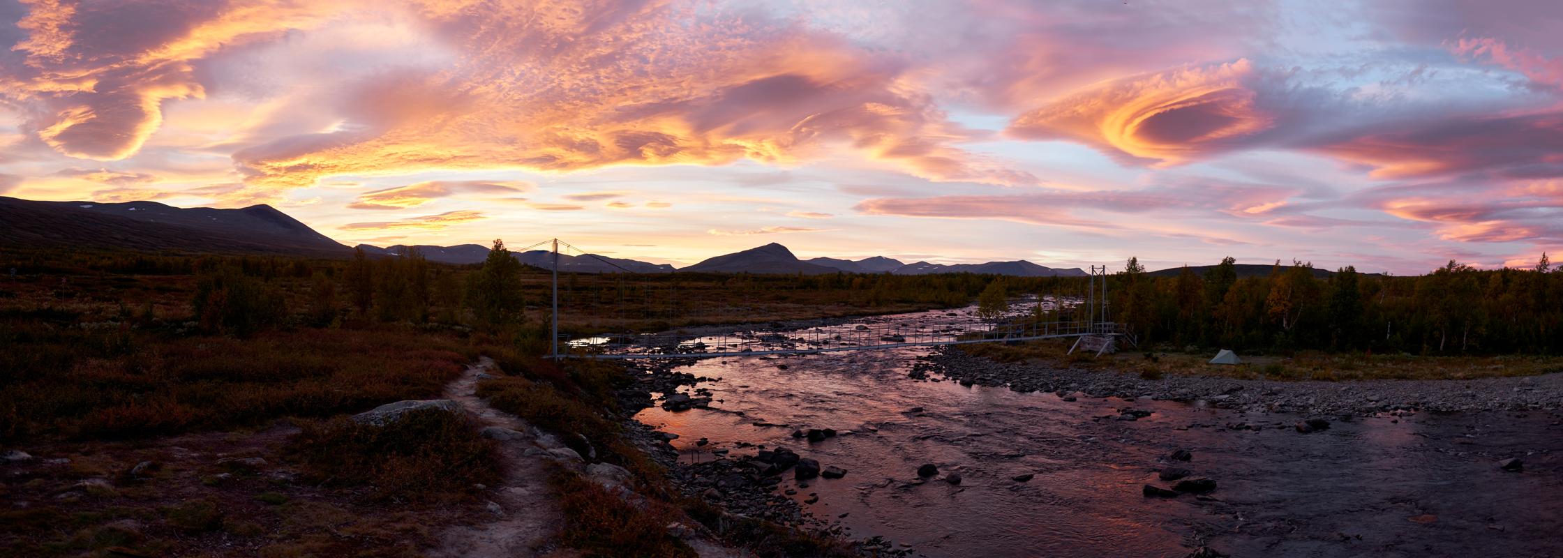
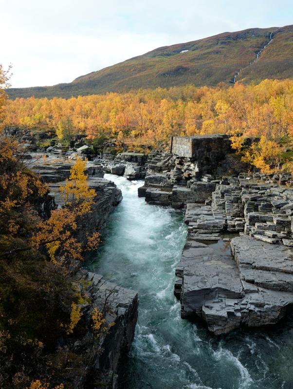
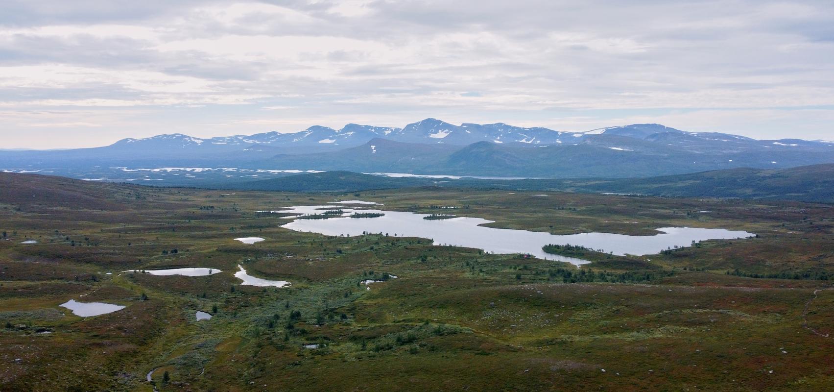
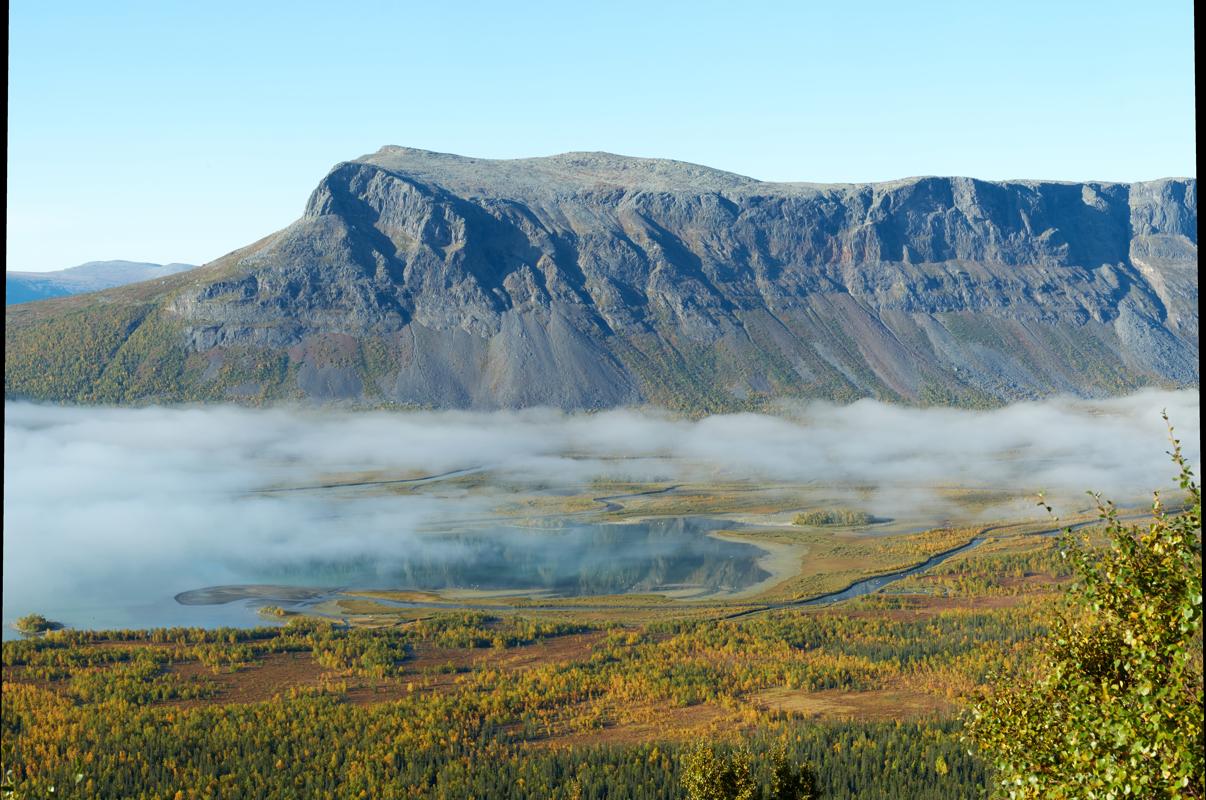
Often called Sweden's most iconic long-distance hike, the Kungsleden (or King's Trail) winds for over 400 kilometers through the heart of Swedish Lapland. Stretching from Abisko in the north to Hemavan in the south, it traverses the Arctic Circle and offers hikers a dramatic mix of tundra valleys, birch forests, glacial rivers, and snow-capped peaks. Along the way, the trail crosses Sami reindeer herding lands and passes rustic mountain huts and isolated seasonal settlements, but no permanent villages. The Kungsleden is well-marked and maintained, with a network of STF huts spaced roughly a day's hike apart—making it one of the few long treks in the Arctic where you can travel hut-to-hut without a tent, though camping is also possible. Weather and daylight vary dramatically: you may hike under the midnight sun in early summer, while autumn brings fiery tundra colors and a chance to see the northern lights. Did you know? The northern section of the Kungsleden crosses Sweden's highest mountain region and passes just west of Mount Kebnekaise, the country's tallest peak.
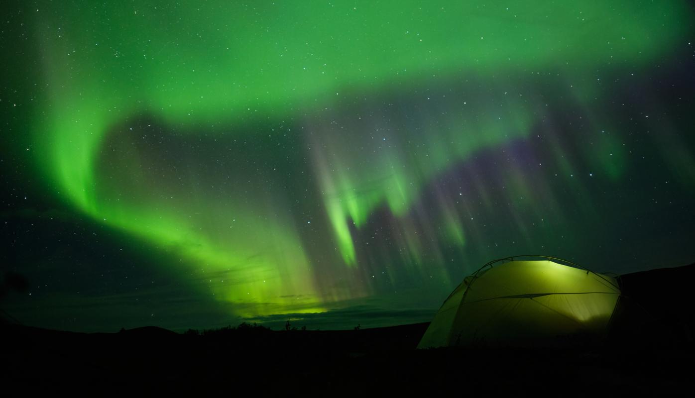
Ha, the Kungsleden. Without a shadow of doubt the most wonderful and craziest hiking experience I ever had, even if it included the full emotional rollercoaster from 'why am I doing this' to absolute bliss. It must be said that I was extremely lucky with the weather, only having to take out my rain jacket on day 23, and that there were no mosquitos and barely any other hikers so late in the season. Sheer desolation, endless views, and on top of that some cold but beautiful northern lights nights. One extra advise: I would strongly recommend hiking from south to north, as you will have the sun in your back, bigger chance of boats available (due to most people trekking N>S), and the most beautiful sections in the second half of the hike.
Some of my photos
Kvikkjokk
Weather data at 344m
Historical data 1970-2000 from WorldClim2 (worldclim.org)
Access
Overnight
route my
route