Lee Trail
 Difficulty:
★★☆☆☆ Beauty:
★★☆☆☆ My experience:
★★★☆☆
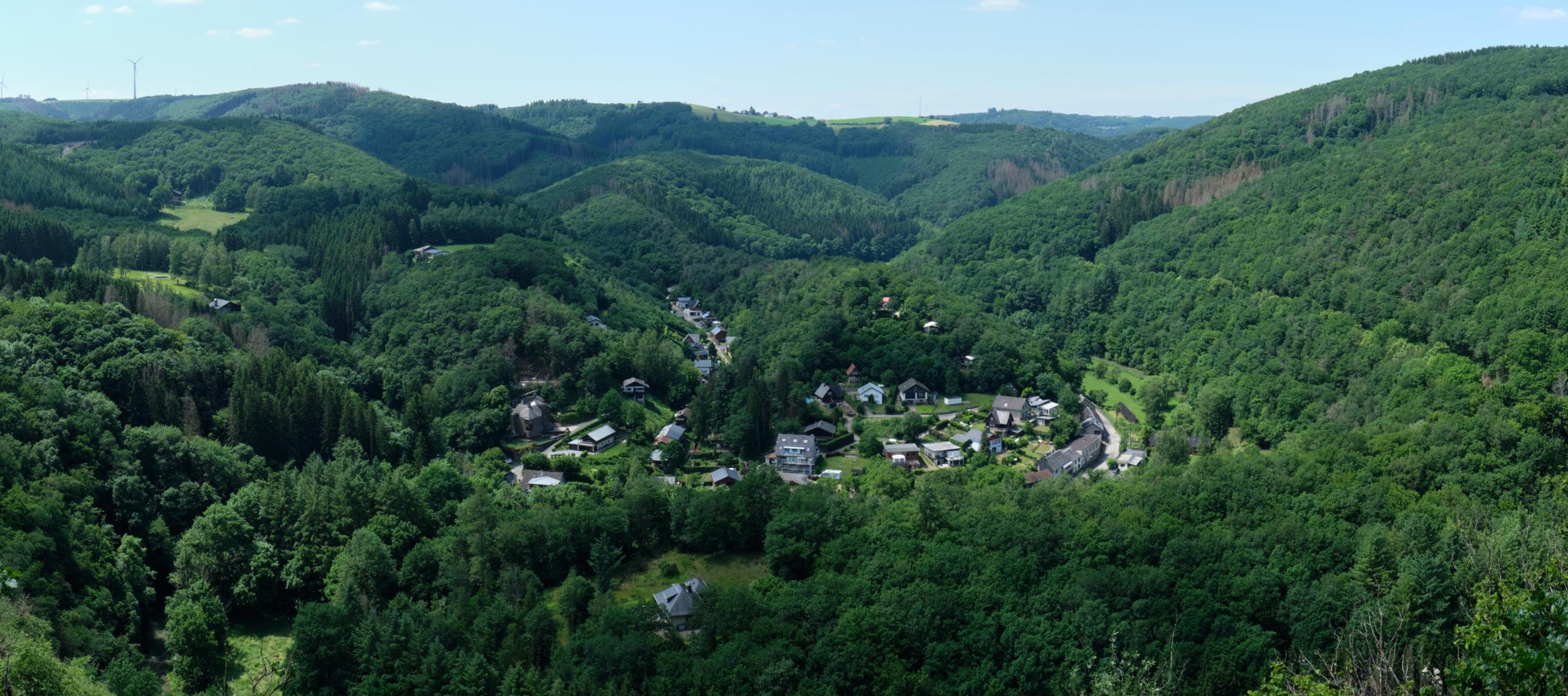
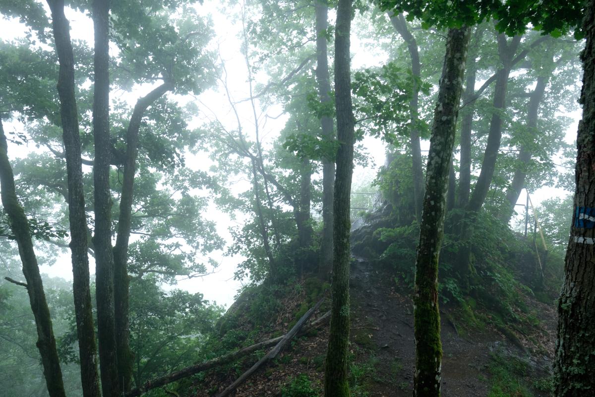
The Lee Trail is part of the larger Escapardenne trail that spans the north of Luxembourg and Belgium. It is a short 3-day trail nestled in the densely wooded valleys and steep sandstone ridges of the Eislek region, offering surprisingly dramatic views for such a compact area. It is easily accessible by train and very well marked, with plenty of accomodation options along the way. Did you know that “Lee” comes from an old word for “rock,” and the trail is named for the rugged cliffs that line much of its route?
I was personally less charmed by the Lee Trail than by the other part of the Escapardenne (Eislek Trail), but this was due to multiple factors, including some very poor weather. Guess I will have to come back to properly rate it here!
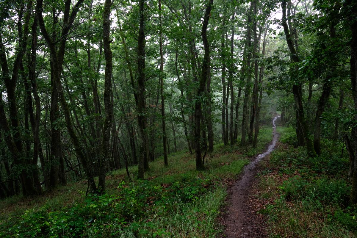
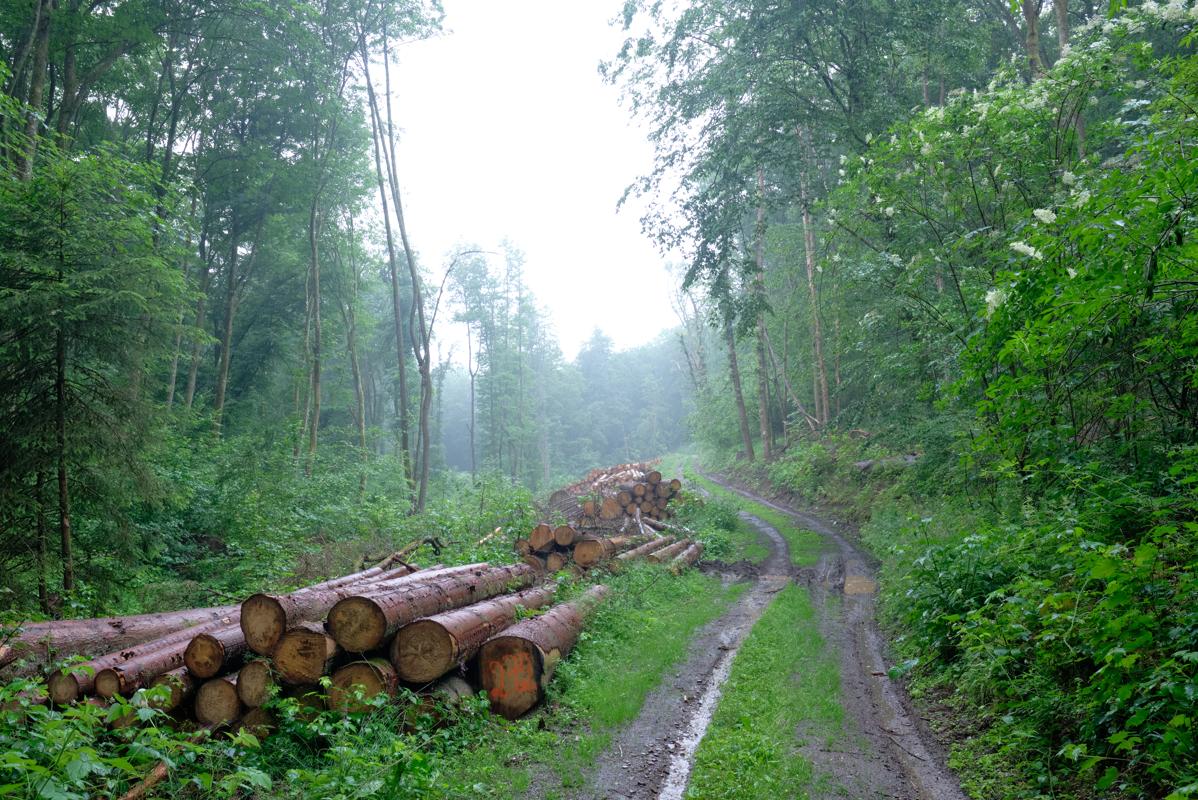
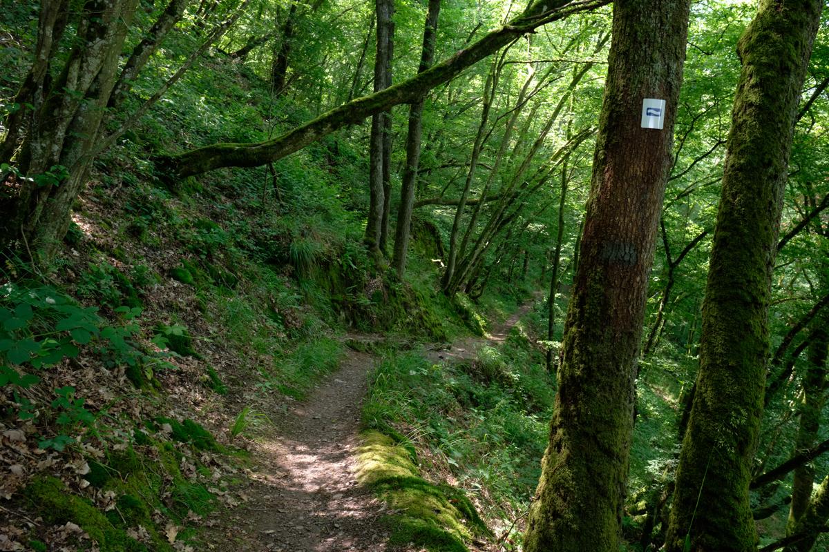
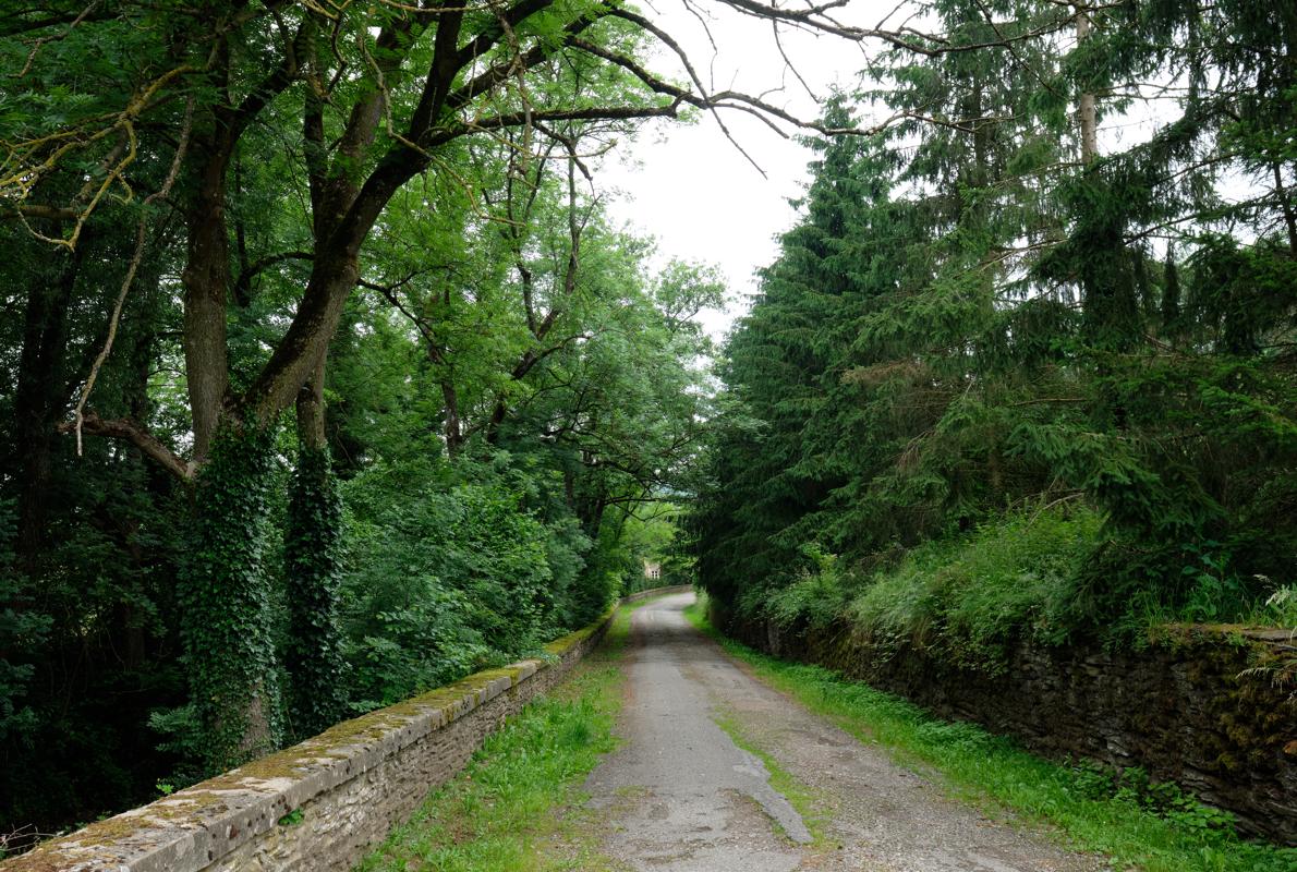
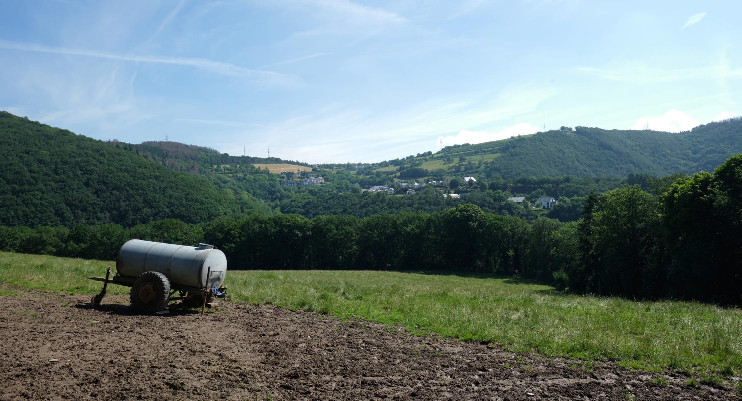
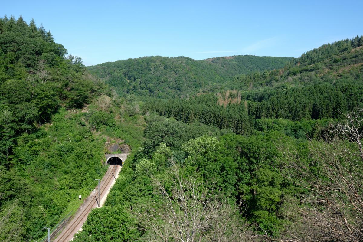
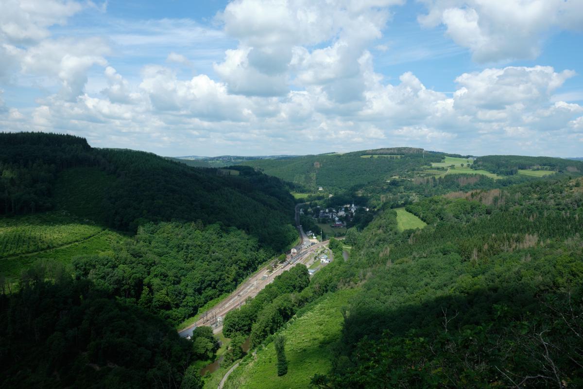
Some of my photos
Ettelbruck
Weather data at 208m
Historical data 1970-2000 from WorldClim2 (worldclim.org)
Access
Overnight
route my
route