Rwenzori (short)
 Difficulty:
★★★☆☆ Beauty:
★★★★☆ My experience:
★★★☆☆
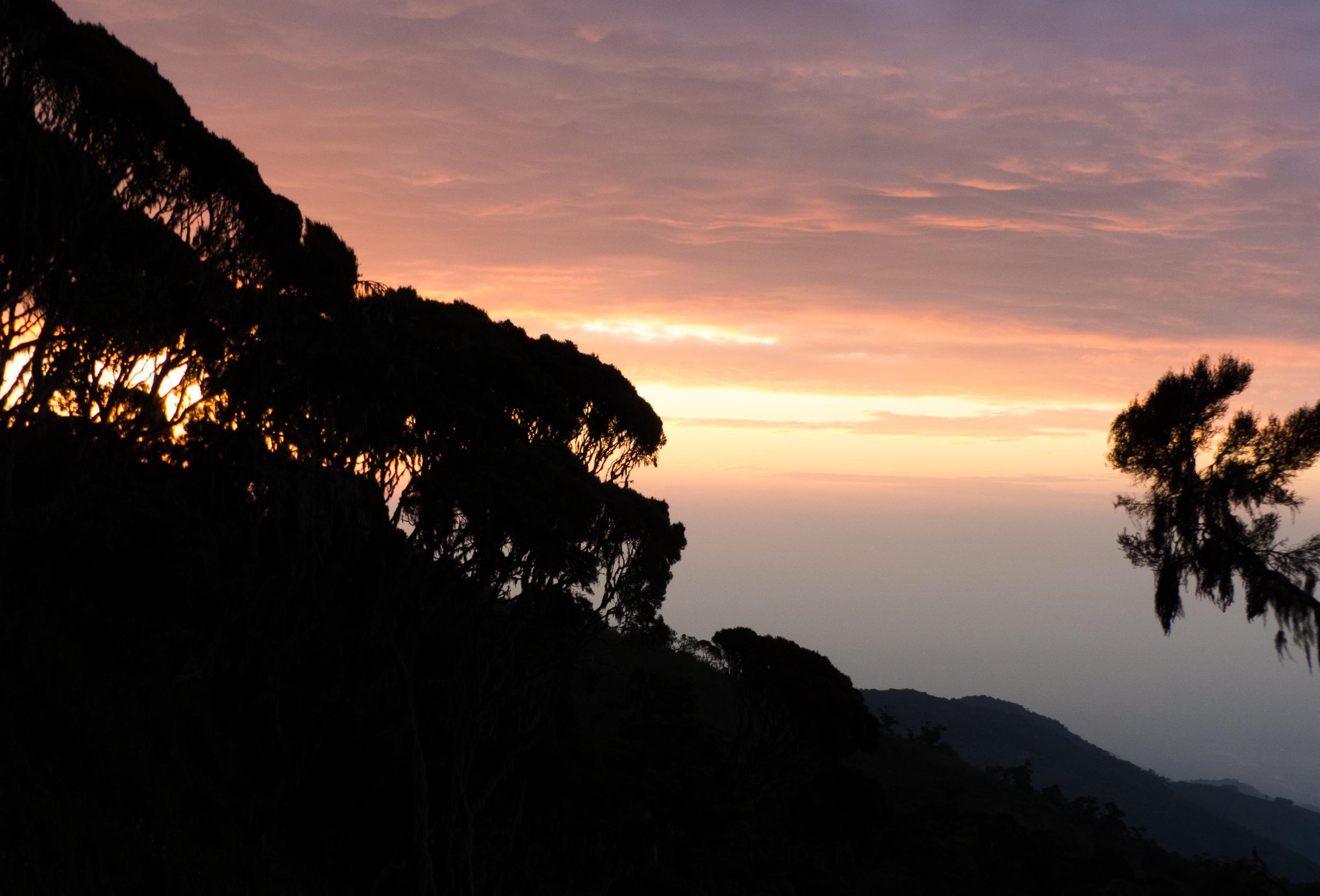
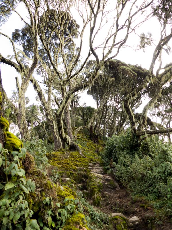
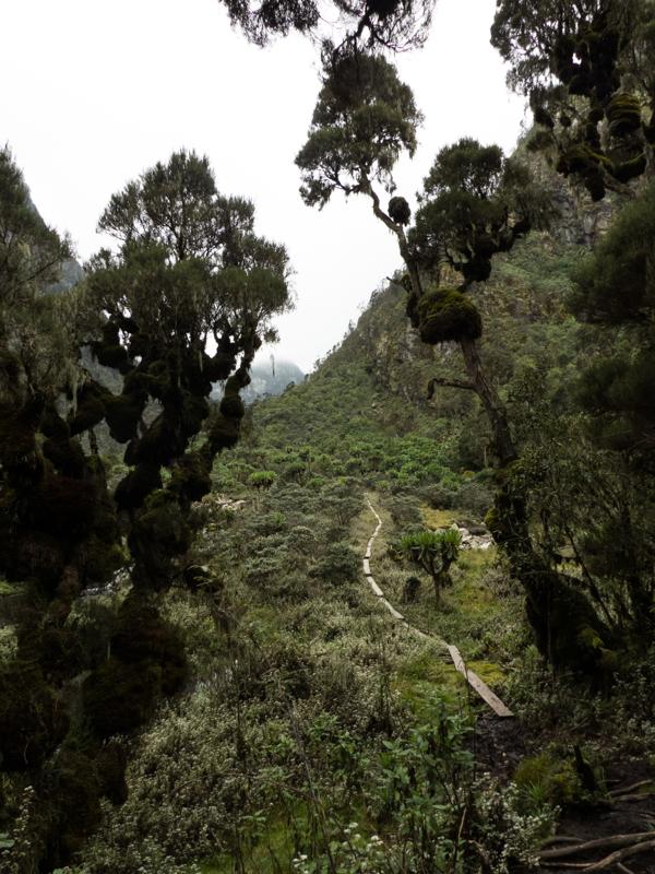
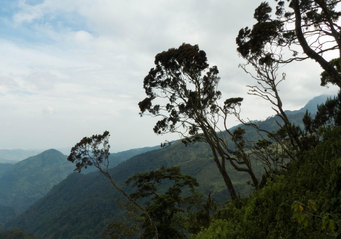
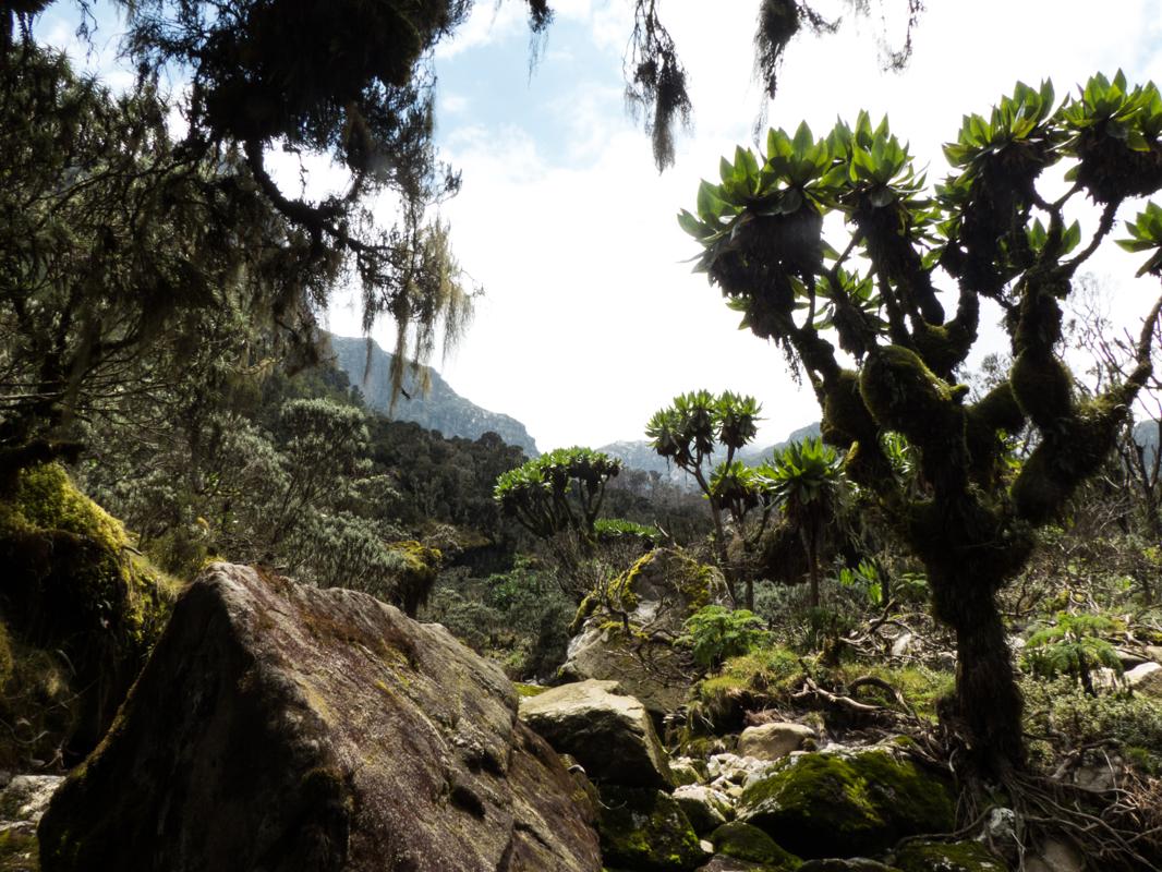
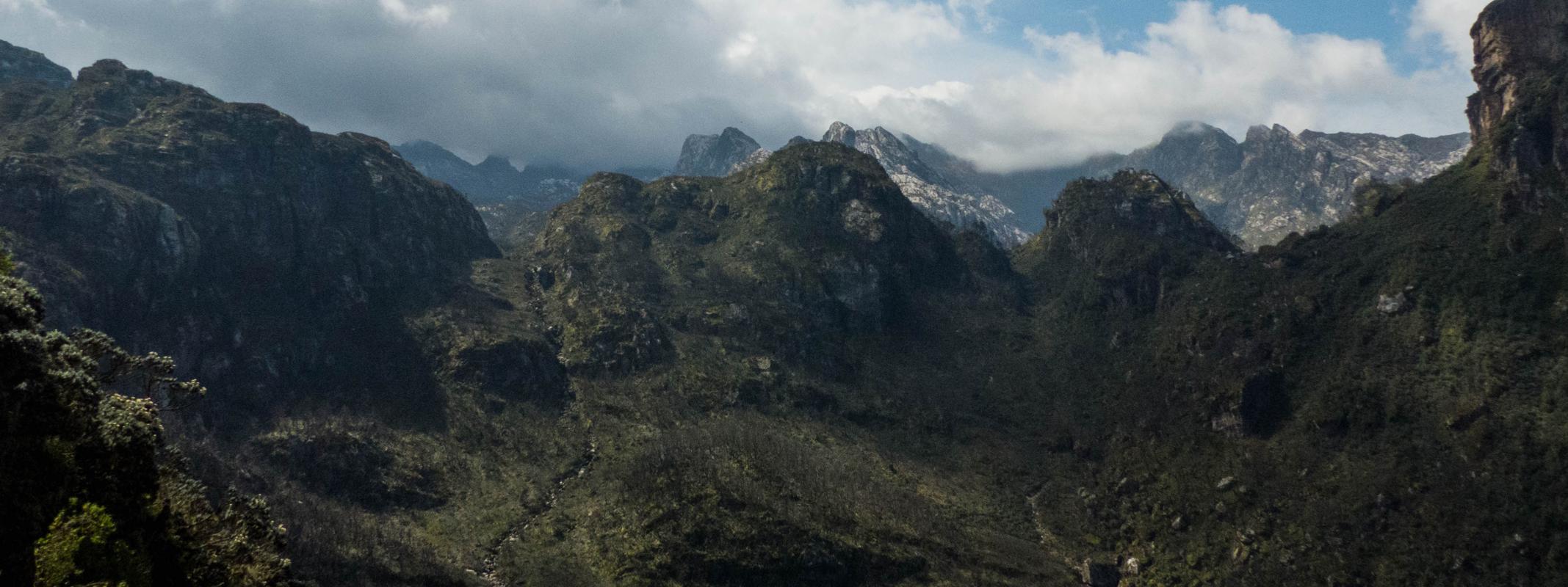
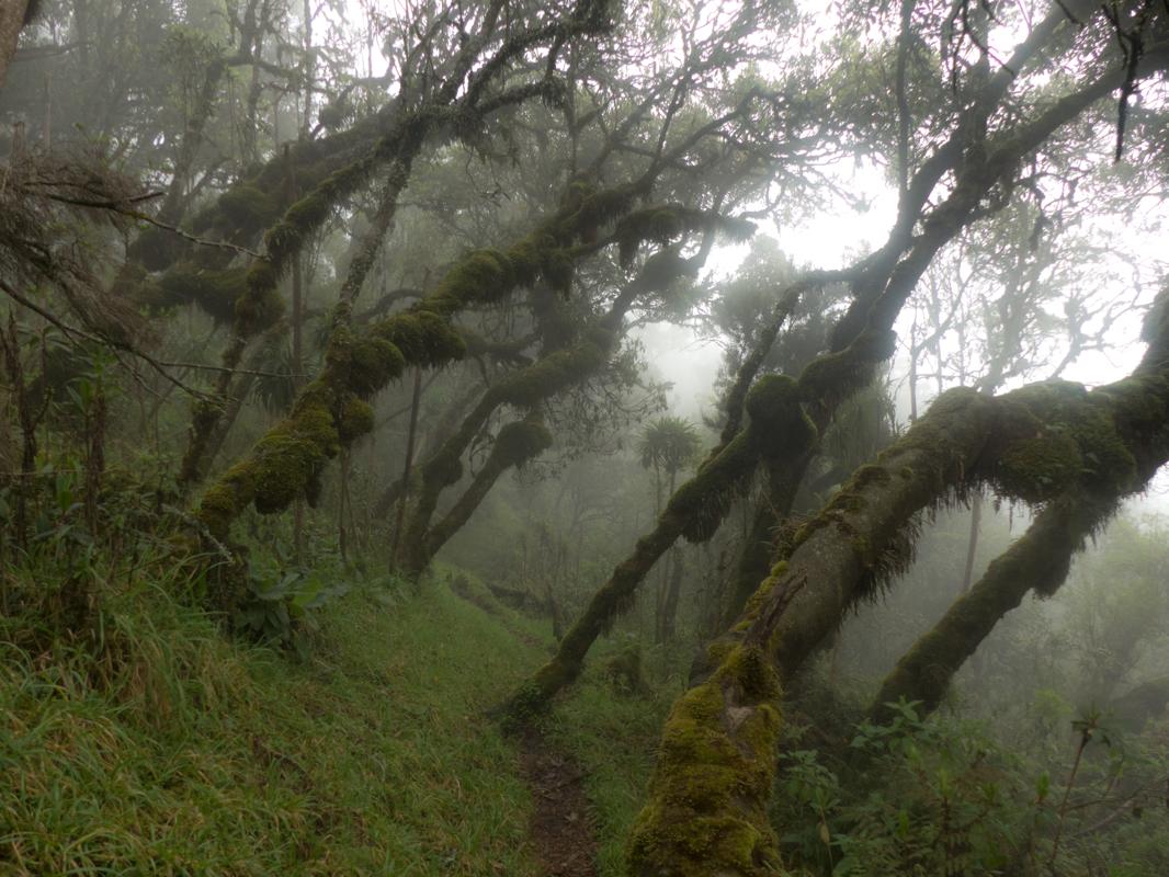
The Rwenzori Mountains, also known as the "Mountains of the Moon", are a mountain range on the border between Uganda and the Democratic Republic of Congo, hosting some very outlandish landscapes, fauna and flora. From the town of Kasese in Uganda, it is possible to explore this region with a touring company. This short variant is the most accessible and takes about four or five days to complete. Did you know that the Rwenzori Mountains are the third highest range in Africa and one of the few equatorial locations with permanent glaciers?
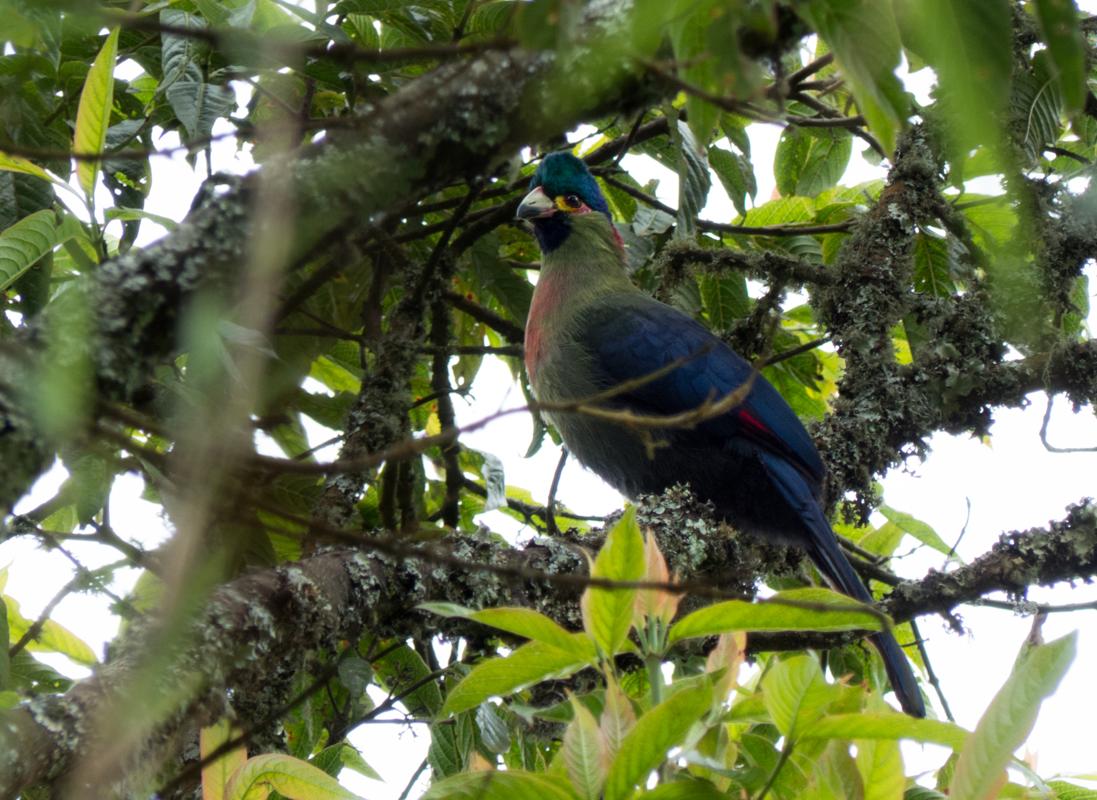
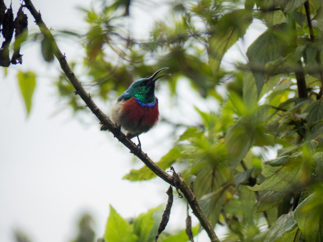
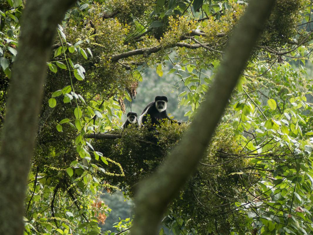
When planning a trip to Uganda, I cannot recommend this trail enough. It was a unique experience, with beautiful endemic wildlife (such as the beautiful Rwenzori Turaco, various sunbirds and the Rwenzori Duiker) and fauna that I have never encountered on any other trek to date. The hike was not very strenuous, even though due to circumstances you can walk a full day over a couple of kilometers. Take proper rain gear!
Some of my photos
Kasese
Weather data at 990m
Historical data 1970-2000 from WorldClim2 (worldclim.org)
Access
Overnight
route my
route